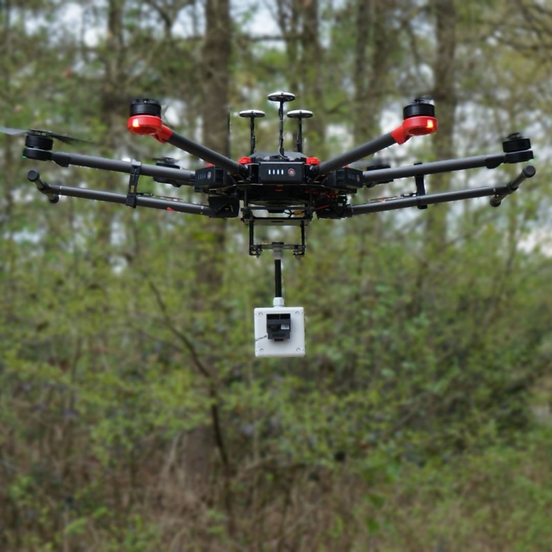
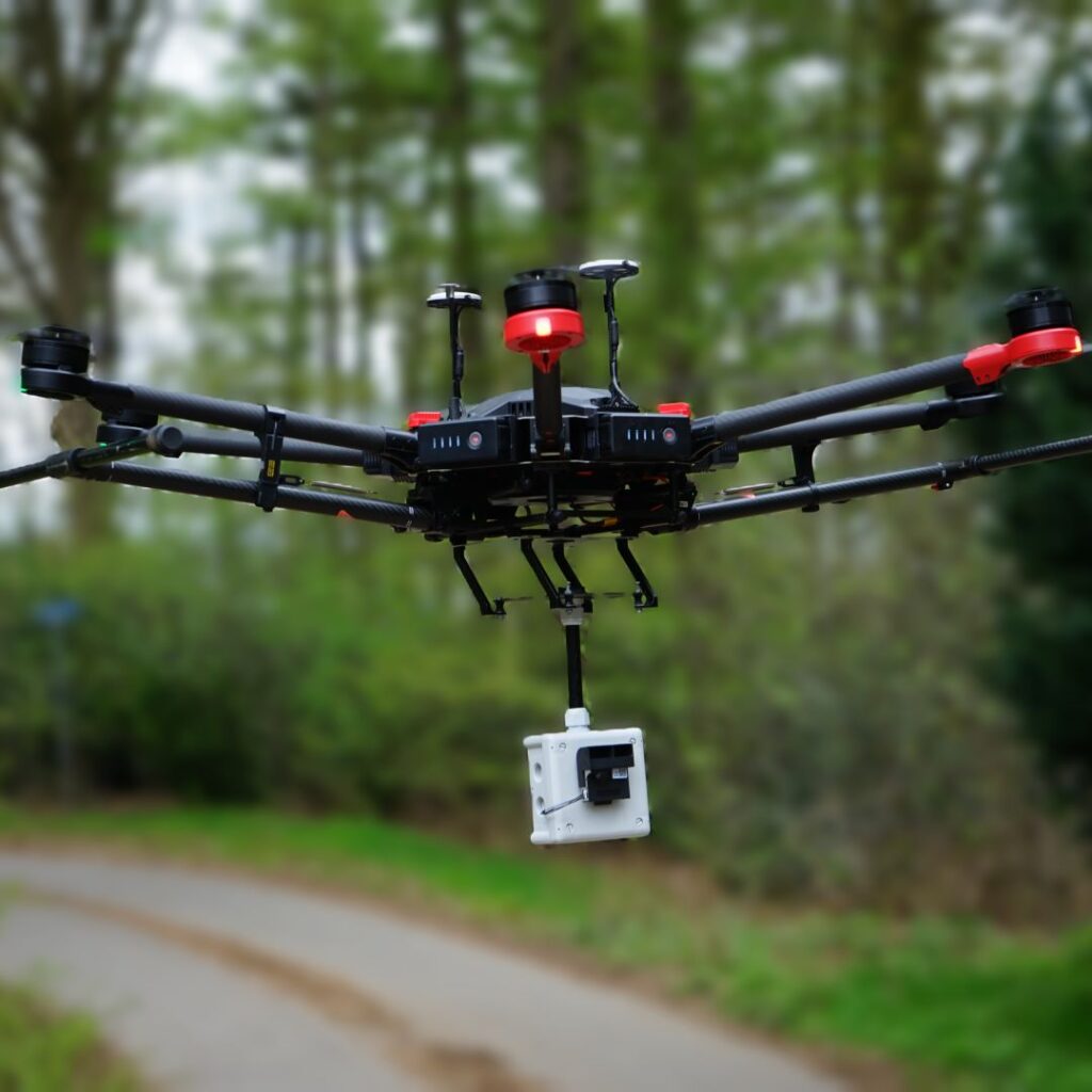
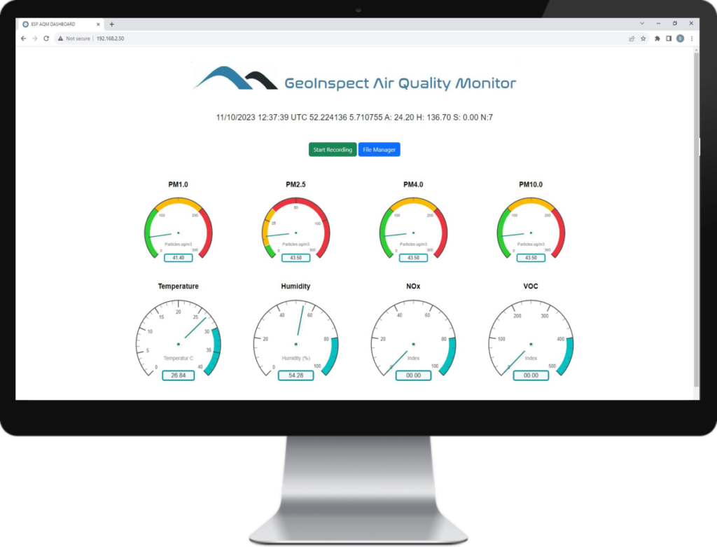
Remote viewing: bring the sensor to the source and measure from a safe distance.
Make adjustments during the flight or when changes are made to the flight plan.
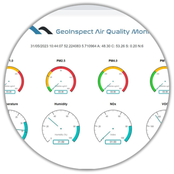
Access the measurement data from anywhere via a web browser.
Receive detailed reports in real time or save raw data for later processing or archiving.
Record camera images or videos as evidence.
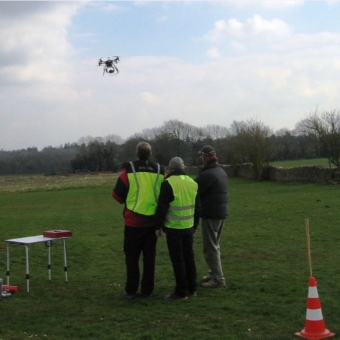
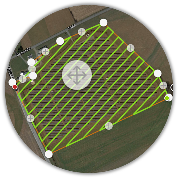
FLIGHT PLANNING FOR THE PROFESSIONAL
![]()
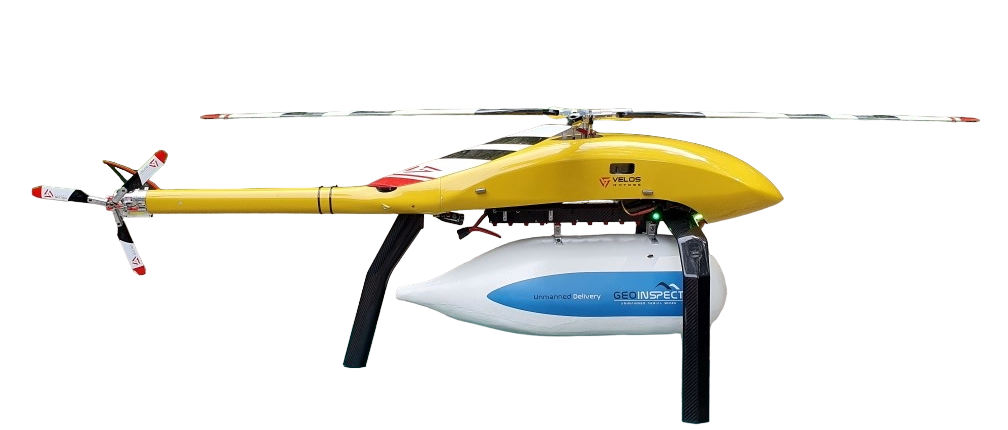
GeoInspect is at the moment working closely together with UgCS to introduce some changes to their flight planning software so a helicopter/single rotor will can be supported as well as platform.
Some special “heli ” telemetry parameters and warning messages will be introduced that will secure safe flights
These changes will be introduced in the upcoming release og UgCS